Software
Create a free account and view content that fits your specific interests in civil engineering Learn More
Engineering Geology Software
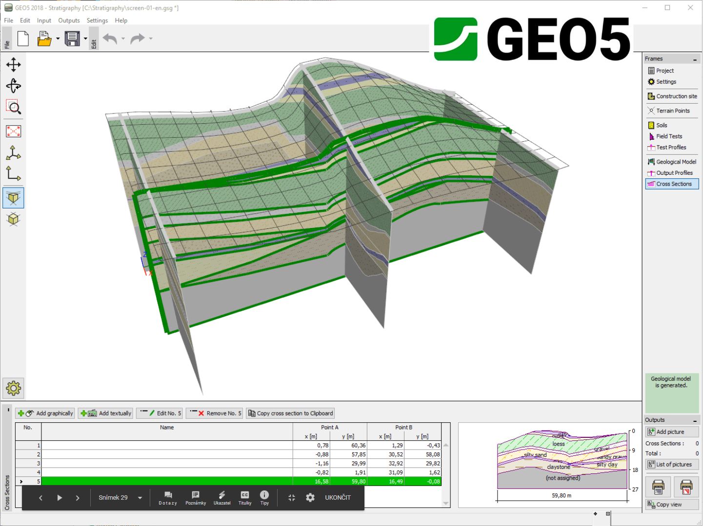
The GEO5 Stratigraphy program is designed to process results from site investigation (boreholes, wells, CPTs, DPTs, SPTs, DMTs ...), generate 2D or 3D geological models and export cross sections and g...
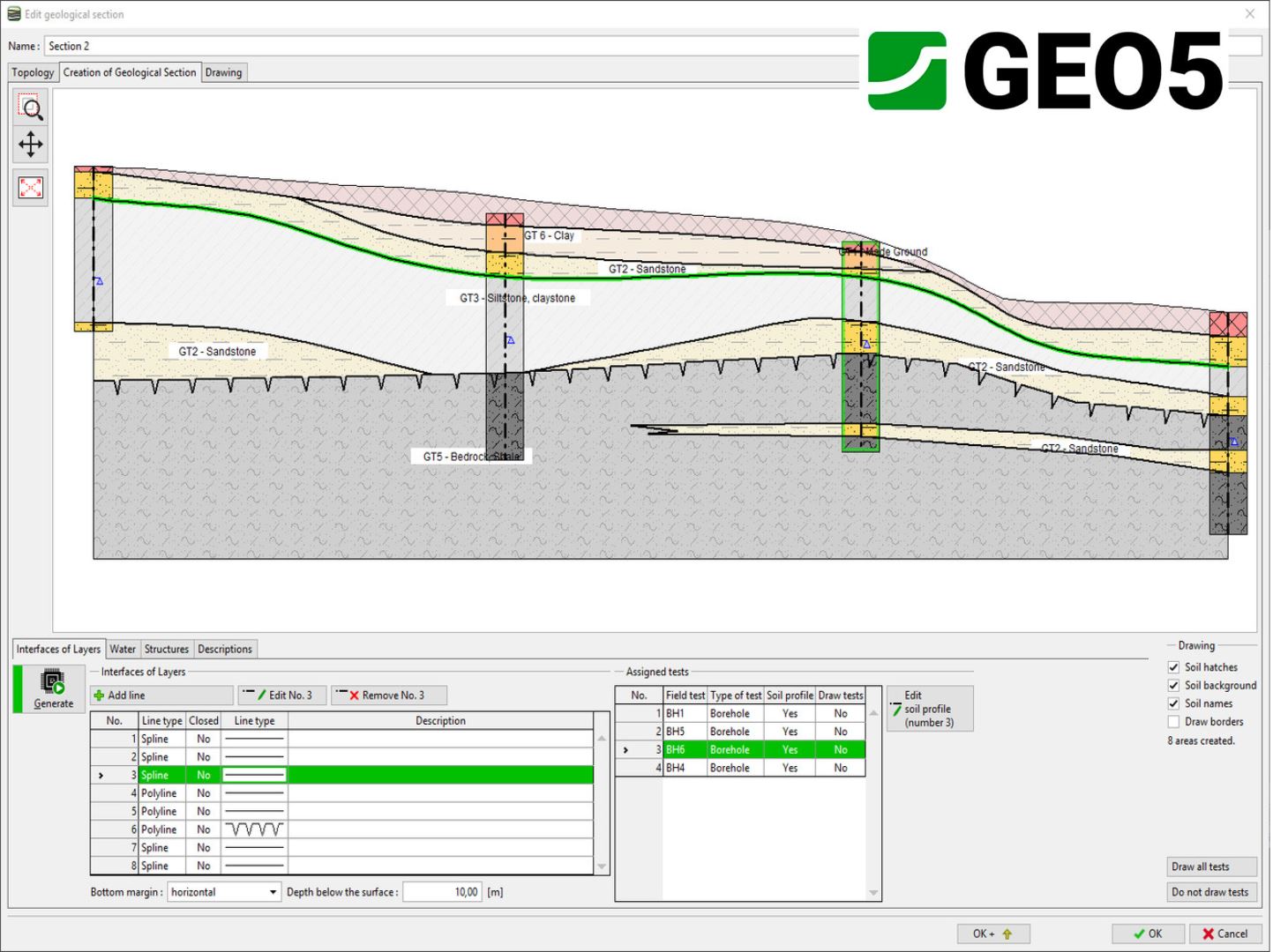
The Stratigraphy - Cross Sections module is designed for easy creation of geological cross-sections (including lenses, faults). It provides scaled outputs of the cross-section with field tests and soi...

The Stratigraphy - Logs module is used for geological data reporting from site investigation (boreholes, wells, SPT, CPT, DMT and more). It provides a comprehensive database of pre-defined templates a...

Calculation methods for rocks mechanics

QSB2d: bearing capacity and settlements of shallow foundations

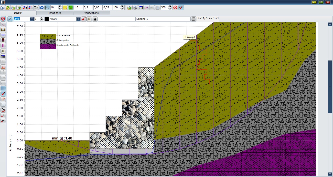
Stability analysis of soil slopes

Professional grade GIS SDK for developing custom web GIS applications for hosting on Windows, Linux, and macOS servers (including Docker). The SDK is designed for ASP.NET Core and Web Forms, with supp...
GBMuri ver.1: design of gabion walls.
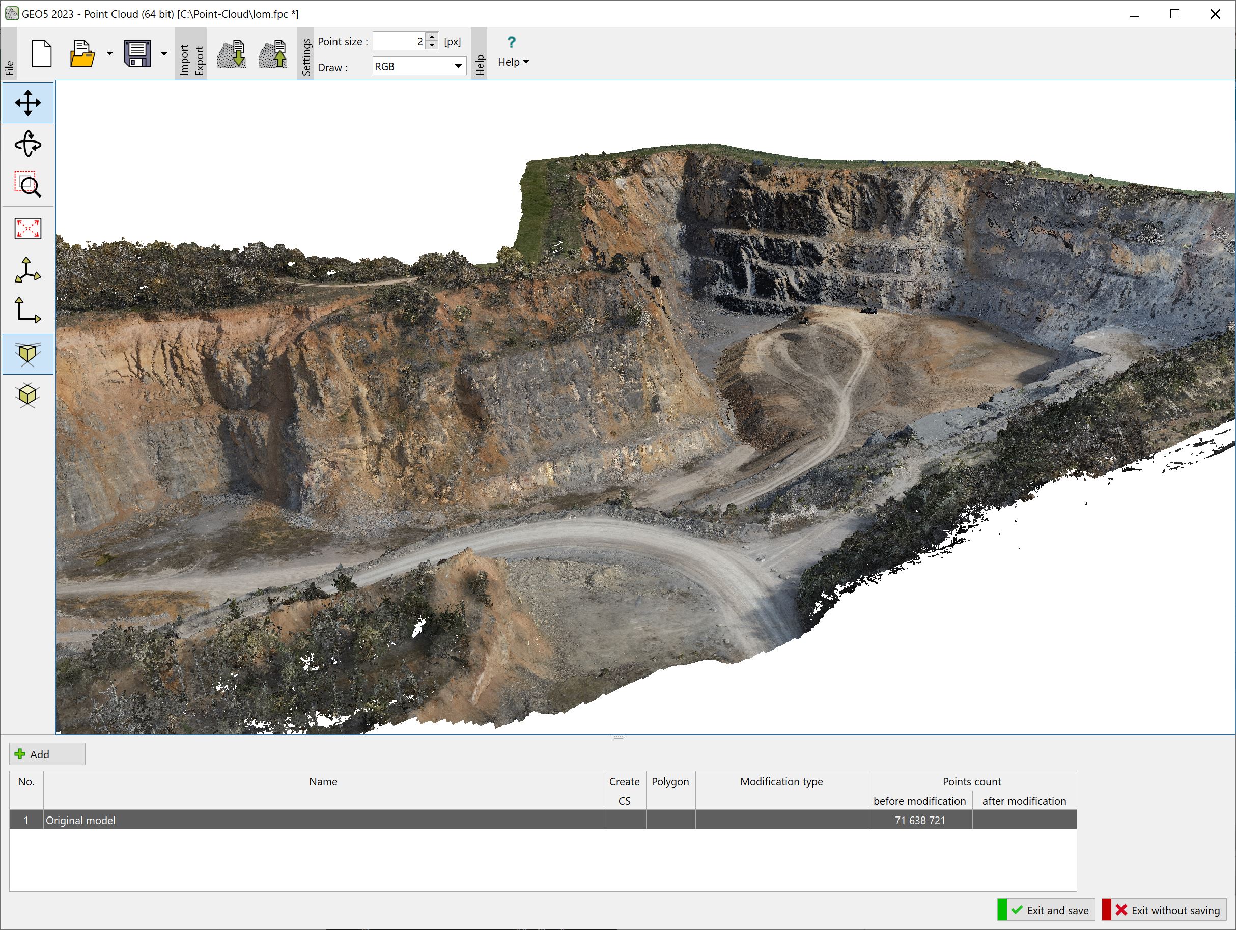
The program allows fast processing of point clouds (up to 100 million points) and export of resulting points into the Stratigraphy program or external files.
GEO5 Stratigraphy
€ 600,00
GEO5 Stratigraphy - Cross Sections
€ 550,00
GEO5 Stratigraphy - Logs
€ 600,00
The Earthworks module is designed for modelling structures, such as foundation pits, roads, railways, quarries, slopes, and others. It also provides calculation of earthwork or terrain movement volume...

Mecrocce3
€ 980,00
QSB2d
€ 780,00
Soils3
€ 980,00
TatukGIS Developer Kernel for ASP.NET
US$ 2.990,00
GBMuri
€ 780,00